Legal description search

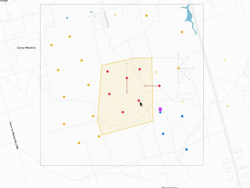


This is a search experience we're building into our maps to enable users to find sections and townships. The BLM (United States Bureau of Land Management) has a system called PLSS (wiki), or the Public Land Survey System. It's a geographical grid on a state-by-state basis that helps folks find land descriptions.
Due to the structure of the data, and a goal of speed and ease-of-entry, I created an interface to let folks quickly type in identifying information for their township and section, while also supporting the non super-user crowd.
Blog post to come, .mov and snapshot of my Figma file attached.
map_search_1080p.mov
9 MB


