Find designers
Designer search
Quickly find your next designer
Post a job
The #1 job board for design talent
Inspiration
Courses
UX Diploma
Learn UX design from scratch in 6 months
UI Certificate
12-week UI skill building for designers
Live interactive workshops
with design professionals
Jobs
Go Pro
Log in
Dribbble: the community for graphic design
Log in
Sign up
Maps
Facebook icon
Share
Twitter icon
Tweet
Copy
9 Shots
•
8 Designers
Ricardo Moreira
Facebook icon
Share
Twitter icon
Tweet
Copy
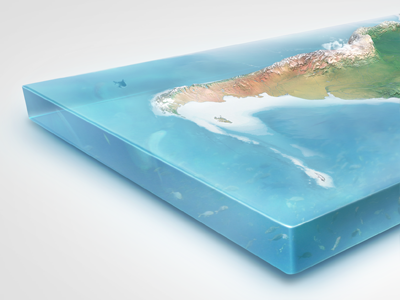
View Earth Illustrations in 3D - South America
Earth Illustrations in 3D - South America
Like
Giallo
Pro
Like
536
19.1k
View Data Mapping (Excel <> Photoshop)
Data Mapping (Excel <> Photoshop)
Like
stéphane
Like
15
2k
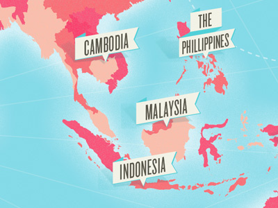
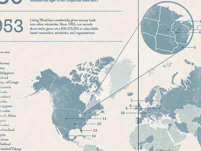
View Another part of that map, coming along…
Another part of that map, coming along…
Like
kellianderson
Like
57
1.7k
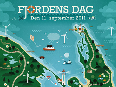
View Fjordens Dag 2011
Fjordens Dag 2011
Like
Wilson Semilio
Like
108
4.9k
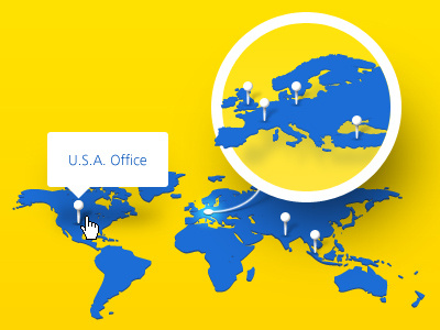
View Map
Map
Like
Ozan Akoglu
Like
94
4.9k
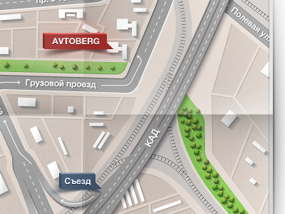
View Map for "Avtoberg"
Map for "Avtoberg"
Like
M18
Team
Like
130
4.3k
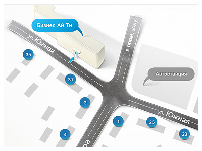
View Map
Map
Like
Ilia PV
Like
158
6.1k
1
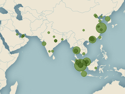
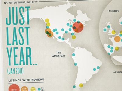
View Comparison Map with dots
Comparison Map with dots
Like
kellianderson
Like
320
17.3k
1
View Annual Report Infographic
Annual Report Infographic
Like
Brandon Harrison
Like
118
10.4k
Sign up to continue
Loading more…
Previous
Next
Loading…