Python Jupyter - LANDSAT images timelapse analysis (geemap lib)

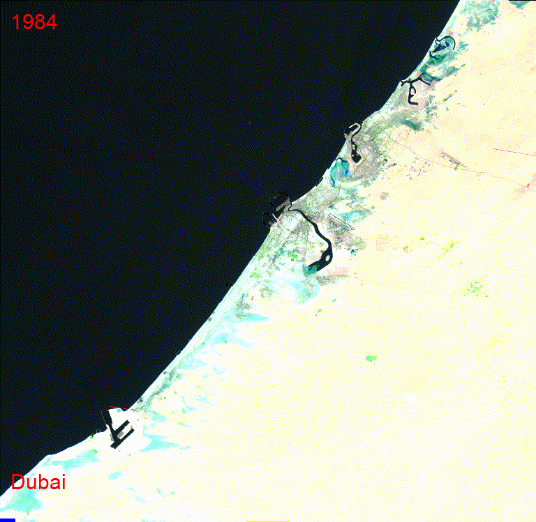
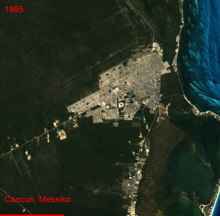
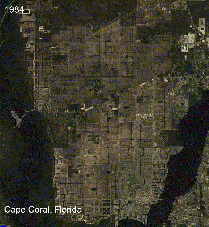
The generated GIF visually illustrates the temporal changes in Dubai area using Landsat satellite imagery, depicting alterations in land cover, vegetation, and environmental factors. Customizable colors and graphical elements enhance its scientific and visual appeal. It was created through the use of Python libraries, including ee for accessing Earth Engine data, geemap for interactive mapping, and ipywidgets for user interface components. This GIF serves as a valuable tool for researchers and professionals to analyze Earth's transformations, from deforestation monitoring to urban expansion and climate change studies.